Mapping Intertidal and Subtidal Oyster Reefs
ABSI researchers have been gathering historical data on the distribution, size, and height of oyster reefs in the Apalachicola Bay System. These data will be compared to recent maps obtained using a variety of remote sensing tools, including drones, to get a sense of reef dynamics over the last hundred years.
The Duke University’s Marine Robotics & Remote Sensing Lab worked with ABSI to create a three-dimensional map of intertidal oyster reefs in the Apalachicola Bay System. Although most harvesting occurs on subtidal rather than intertidal reefs, we include them in the ABSI oyster surveys because they are potential sources of oyster larvae. Further, and like subtidal reefs, they provide numerous ecosystem services, including water filtration, shoreline protection, and shelter for a number of different types of organisms.
The data collected from intertidal reefs will help us detect patterns in oyster density and abundance, and how these relate to reef location and height. In the past, collecting these types of data in this detail would have been labor intensive, time consuming, and therefore costly. Now, however, with the advent of of Unmanned Aircraft Systems (UAS), commonly called drones, data collection can be carried out quickly and with greater accuracy.
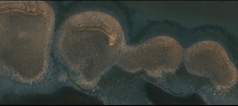
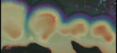
To illustrate, below are two images of the same reef near Alligator Harbor. The first (L) is a standard aerial image captured by a drone. The second (R) is the same image overlaid with the 3D model. Cooler colors (blues & greens) represent lower elevations and hotter colors (yellows, oranges, and reds) represent higher elevations. Of course, on an intertidal oyster reef, elevation changes by just a few feet, but it does make a difference. Examine the two images. Can you identify clusters, or “burrs” of oysters? If so, does there seem to be a pattern or elevation they prefer? ABSI scientists will ask similar questions on a much larger scale.
Standard Aerial Drone Image Same Image Modified with 3D Model
Click HERE to see a 3D point cloud fly through of Alligator Harbor.
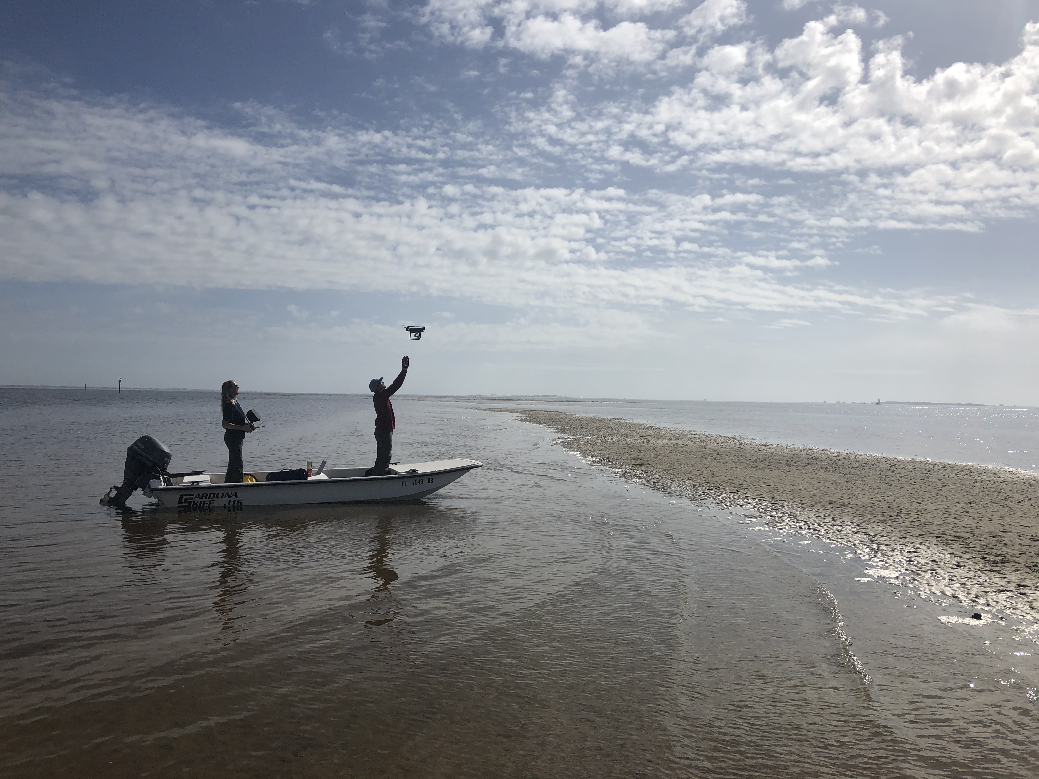
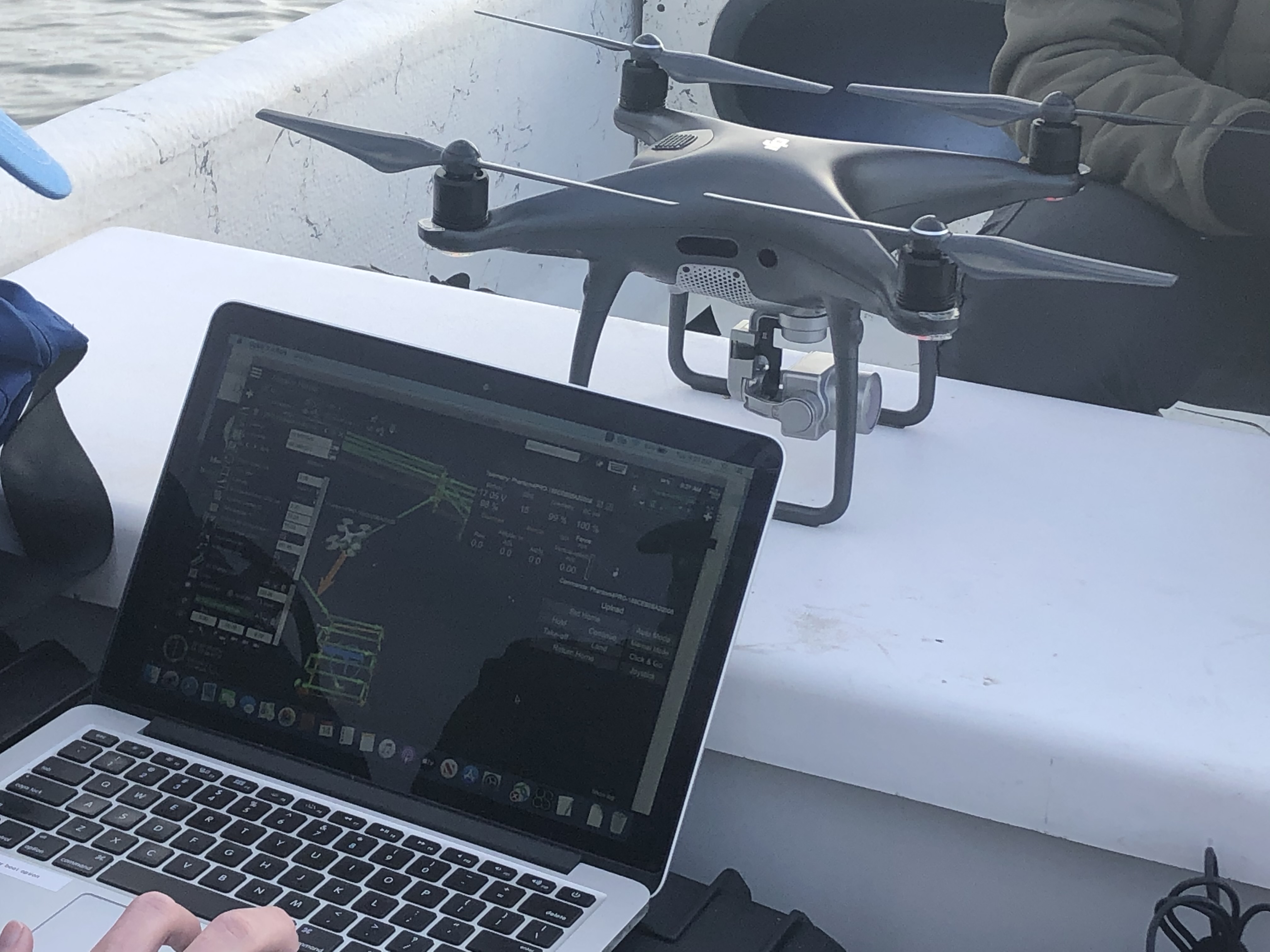
Maddie Hayes (L) and Justin Ridge (R) of Duke University landing the drone on the boat.
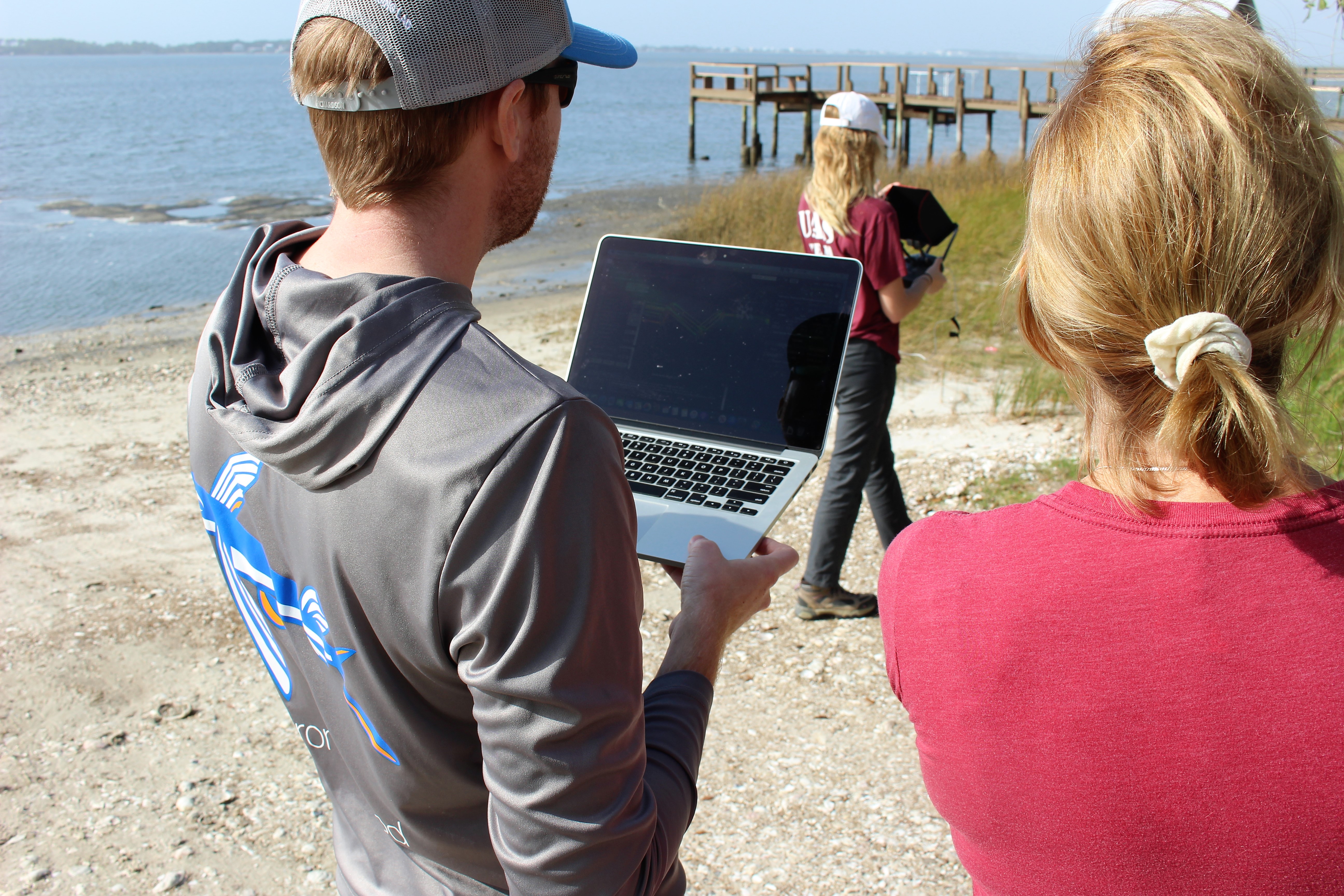
Dr. Ridge mapping the drone as it flies over Alligator Harbor
Working from the boat near the Carrabelle River